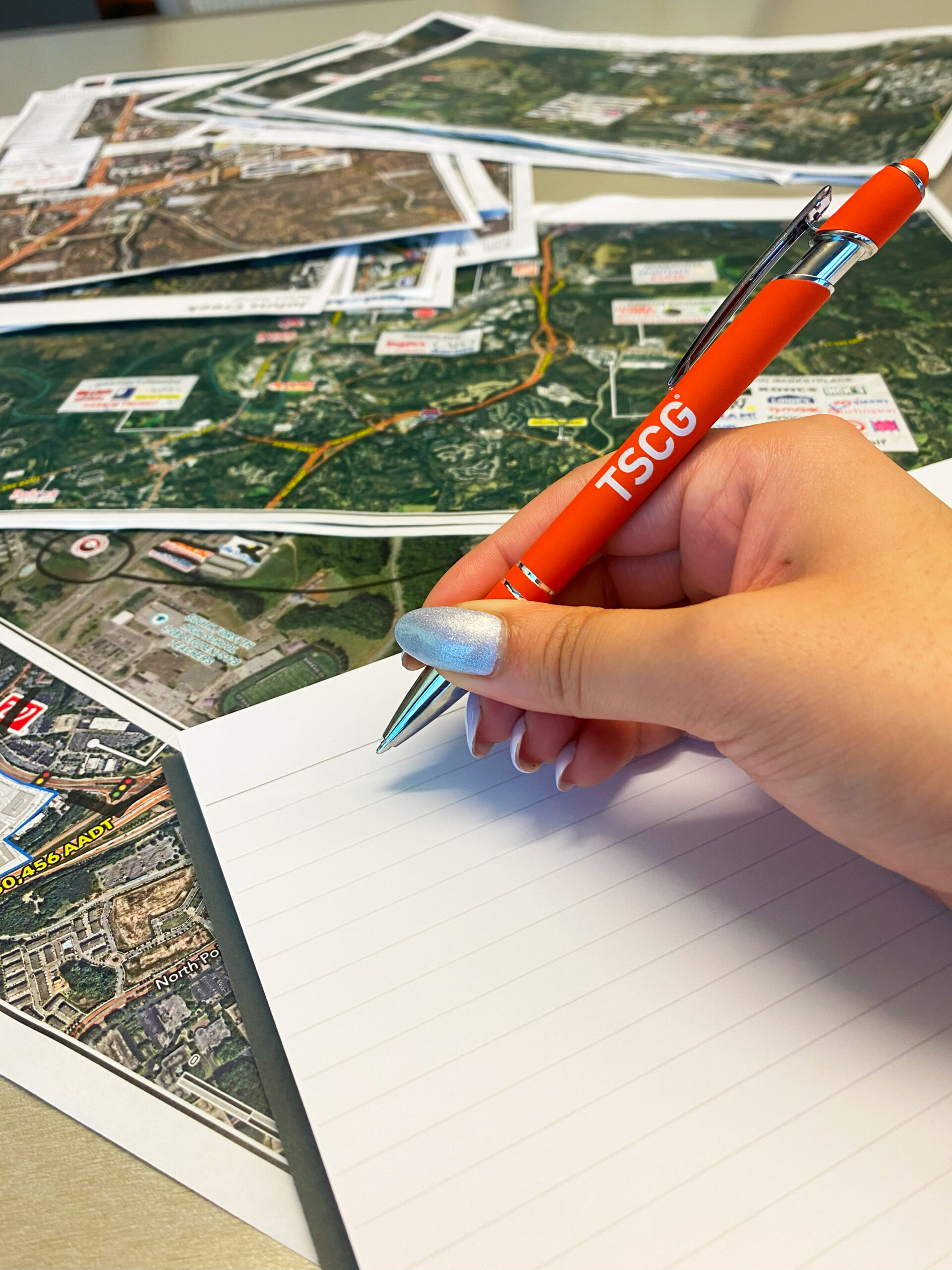
GIS Mapping in Retail Commercial Real Estate – Advanced Location Insights by TSCG
GIS & Mapping
Leveraging proprietary software and third-party services to enable data-driven decisions.

Mapping the Future of Retail
TSCG’s GIS and data analytics tools provide clients with customized site evaluations and projections based on a combination of data generated and local knowledge from our 20 offices and national network via ChainLinks.

Using advanced GIS tools, we create detailed maps with property lines, demographics, and retailer locations, all tailored to meet client needs. Custom site reports offer in-depth analysis with variables like radius rings and drive times, professionally branded and designed for quick, actionable insights.

TSCG's Essential Mapping Options
- Retail Sub-Market Delineations: Breaks down retail markets into smaller sub-markets based on consumer behavior, geography, and market dynamics for targeted strategies.
- Retail Nodes: Maps key retail hubs with high consumer traffic, essential for identifying prime locations and understanding competition.
- Shopping Center Geofences: Sets digital boundaries around shopping centers to track foot traffic and demographics, optimizing tenant mix and marketing strategies.
Analytics
Our analytics services encompass market planning, mobile location trade area analysis, and customer profiling through psychographic and geo-social segmentation. We optimize market footprints, analyze competitors, assess foot traffic, and conduct void and in-center performance analyses, providing valuable insights for accurate sales forecasting in commercial real estate.
Data-Driven Insights
With insights drawn from over 30,000 shopping centers nationwide, we leverage mobile location data to analyze visitation trends and segment visitors by demographics and shopping habits, empowering our clients with actionable intelligence for strategic decision-making.
If you don't see what you need, just let us know, and we'll tailor a solution for you.
Comprehensive GIS Solutions
We offer on-demand GIS mapping, traffic counts, and market mapping, along with custom web app creation and ESRI consulting. Our services enhance spatial analysis and data visualization for informed decision-making in commercial real estate.
Learn How We Provide Clients With Data Driven Insights
TSCG Clients Talk About How We Solve Their Challenges:
Other Intelligence Services
Don't see what you're looking for? Let us Know.
FAQ
Geographic Information Systems (GIS) is a powerful tool used to capture, analyze, and interpret spatial data. At TSCG, GIS is applied in retail commercial real estate to enhance site selection, market analysis, and decision-making processes. By integrating various data sources, TSCG can provide clients with valuable insights that drive strategic investments and improve operational efficiency.
The integration of GIS and mapping technologies at TSCG provides several key benefits for retail businesses, including:
- Enhanced Decision-Making: Access to detailed spatial analysis helps businesses identify optimal locations and market opportunities.
- Competitive Analysis: Mapping tools facilitate the assessment of competitor locations and market dynamics, allowing for strategic positioning.
- Risk Assessment: GIS aids in evaluating potential risks associated with environmental factors, zoning laws, and local market conditions.
Future trends in GIS and mapping for retail commercial real estate at TSCG may include:
- Integration of Big Data: Enhanced capabilities to analyze large datasets for deeper insights.
- Advanced Visualization Techniques: Development of interactive maps and 3D modeling to better communicate data insights.
- Real-Time Mapping Solutions: Utilization of real-time data to inform agile decision-making processes in an ever-changing market.


